
Compare Prices on Outdoor Equipment
Travel and Outdoor Equipment Price Comparison > Navigation > Maps
Products available in:
This week's most popular products:


£9.99
From Ellis Brigham
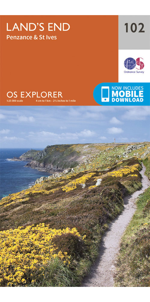
Covering Land's end, Penzance & St Ives on a 1:25,000 scale however remote the terrain, this Ordnance Survey explorer map will give you the accurate, detailed information you need to navigate the area safely. Rights of way, fences, permissive paths and bridleways are clearly shown, ensuring you have the best information to get the most out of your time in the countryside. These are the map of choice for many walkers, climbers, off-road cyclists, horse riders and anyone involved in outdoor activities. [Full Details]
£9.99
From Ellis Brigham
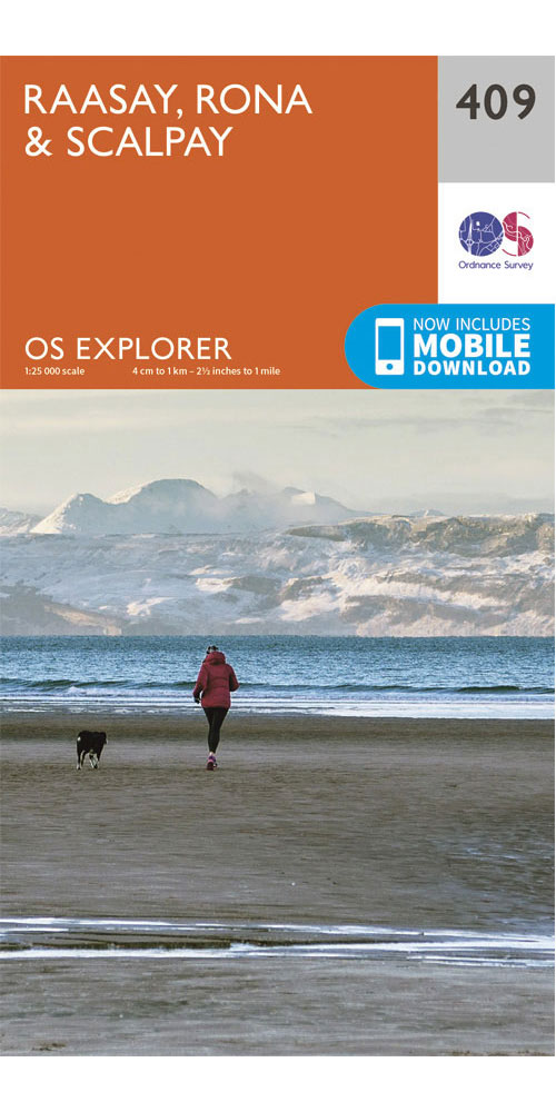
Covering Raasay, Rona & Scalpay on a 1:25,000 scale however remote the terrain, this Ordnance Survey explorer map will give you the accurate, detailed information you need to navigate the area safely. Rights of way, fences, permissive paths and bridleways are clearly shown, ensuring you have the best information to get the most out of your time in the countryside. These are the map of choice for many walkers, climbers, off-road cyclists, horse riders and anyone involved in outdoor activities. [Full Details]
£9.99
From Ellis Brigham
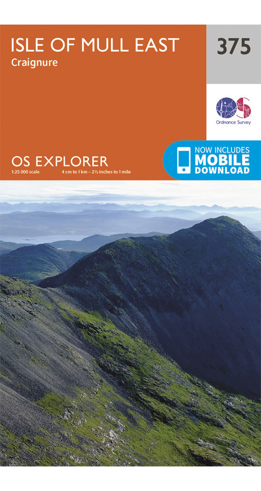
Covering Isle of Mull east on a 1:25,000 scale however remote the terrain, this Ordnance Survey explorer map will give you the accurate, detailed information you need to navigate the area safely. Rights of way, fences, permissive paths and bridleways are clearly shown, ensuring you have the best information to get the most out of your time in the countryside. These are the map of choice for many walkers, climbers, off-road cyclists, horse riders and anyone involved in outdoor activities. [Full Details]
£15.99
From Ellis Brigham
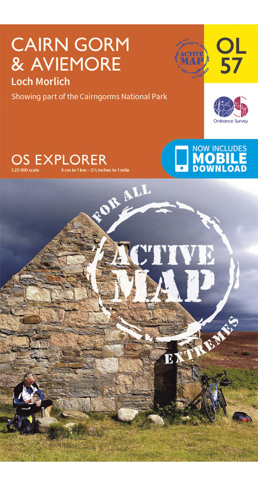
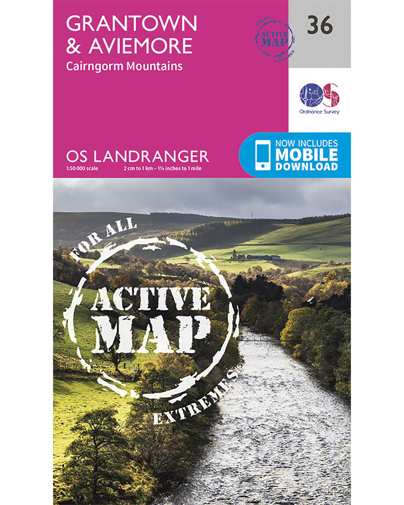
Covering Cairn Gorm & Aviemore on a 1:25,000 scale this OS explorer Active map is tough, durable and weatherproof. It is covered in a protective plastic coating that offers protection from the elements and can be written on, so your favourite routes can be easily highlighted. Lightweight and compact, it won't weigh you down on the trail. Rights of way, fences, permissive paths and bridleways are clearly shown, ensuring you have the best information to get the most out of your time in the countryside. [Full Details]
Maps - Compare Prices
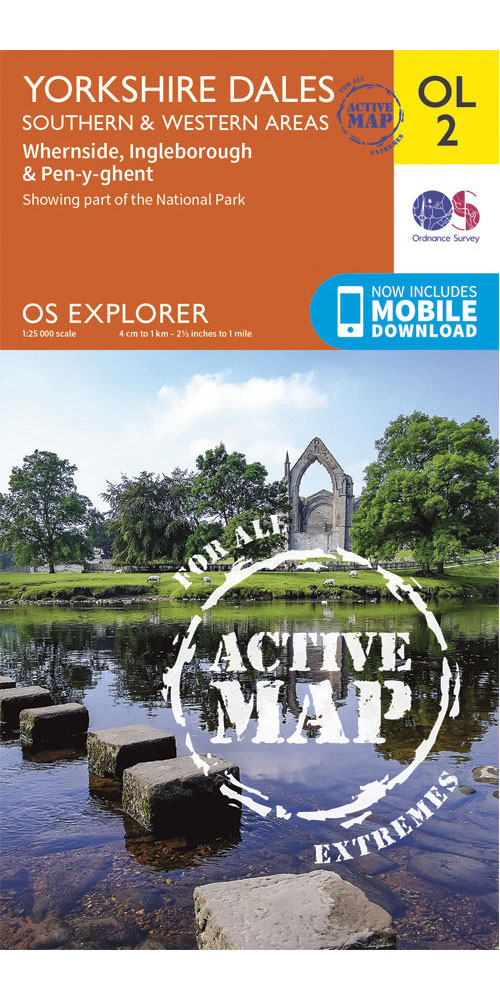
Ordnance Survey Yorkshire Dales - Southern & Western Areas - OS explorer Active OL2 Map
[more info...][less...]
£15.99
From Ellis Brigham
Covering Yorkshire Dales - Southern & Western Areas on a 1:25,000 scale this OS explorer Active map is tough, durable and weatherproof. It is covered in a protective plastic coating that offers protection from the elements and can be written on, so your favourite routes can be easily highlighted. Lightweight and compact, it won't weigh you down on the trail. Rights of way, fences, permissive paths and bridleways are clearly shown, ensuring you have the best information to get the most out of your time in the countryside. [Full Details]
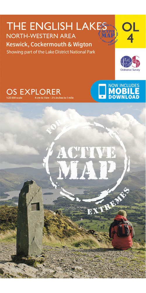
Ordnance Survey The english Lakes - North Western Area - OS explorer Active OL4 Map
[more info...][less...]
£15.99
From Ellis Brigham
Covering The english Lakes - North Western Area on a 1:25,000 scale this OS explorer Active map is tough, durable and weatherproof. It is covered in a protective plastic coating that offers protection from the elements and can be written on, so your favourite routes can be easily highlighted. Lightweight and compact, it won't weigh you down on the trail. Rights of way, fences, permissive paths and bridleways are clearly shown, ensuring you have the best information to get the most out of your time in the countryside. [Full Details]
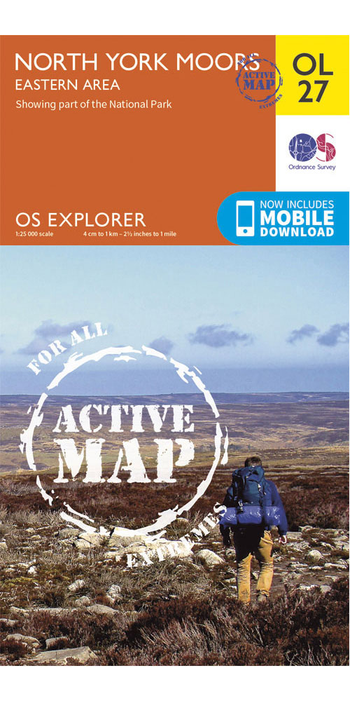
Ordnance Survey North York Moors - eastern Area - OS explorer Active OL27 Map
[more info...][less...]
£15.99
From Ellis Brigham
Covering North York Moors - eastern Area on a 1:25,000 scale this OS explorer Active map is tough, durable and weatherproof. It is covered in a protective plastic coating that offers protection from the elements and can be written on, so your favourite routes can be easily highlighted. Lightweight and compact, it won't weigh you down on the trail. Rights of way, fences, permissive paths and bridleways are clearly shown, ensuring you have the best information to get the most out of your time in the countryside. [Full Details]
£15.99
From Ellis Brigham
Perfect for day trips and short breaks in and around Grantown & Aviemore this OS Landranger Active map utilises a 1:50,000 scale. It is tough, durable and weatherproof thanks to a protective plastic coating which offers protection from the elements, it can also be written on so your favourite routes can be easily highlighted. Including places of interest, tourist information, picnic areas and camping sites, plus Rights of Way information for england and Wales, you'll be sure to find new and exciting places to explore. [Full Details]
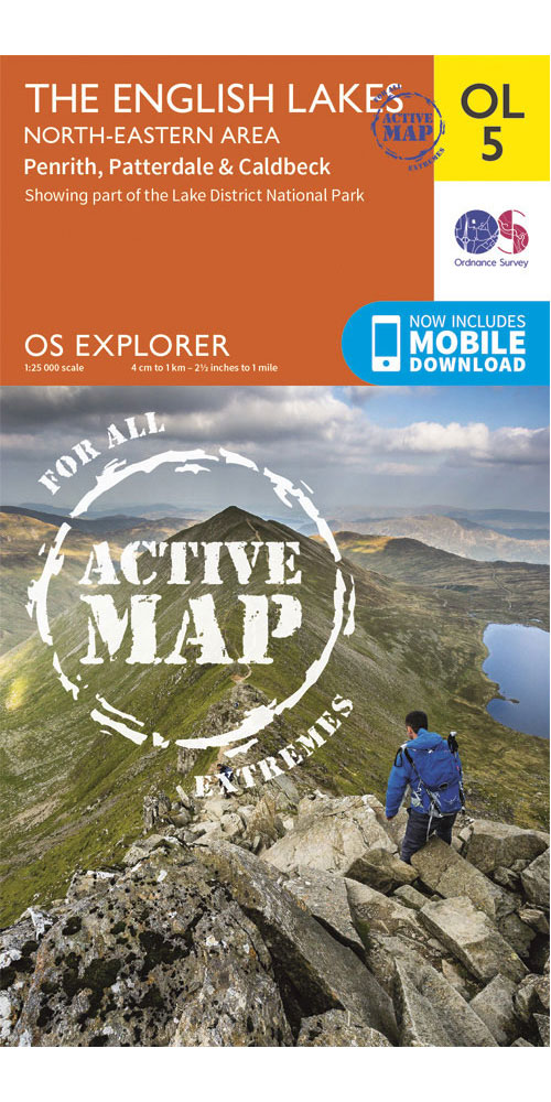
Ordnance Survey The english Lakes - North eastern Area - OS explorer Active OL5 Map
[more info...][less...]
£15.99
From Ellis Brigham
Covering The english Lakes - North eastern Area on a 1:25,000 scale this OS explorer Active map is tough, durable and weatherproof. It is covered in a protective plastic coating that offers protection from the elements and can be written on, so your favourite routes can be easily highlighted. Lightweight and compact, it won't weigh you down on the trail. Rights of way, fences, permissive paths and bridleways are clearly shown, ensuring you have the best information to get the most out of your time in the countryside. [Full Details]
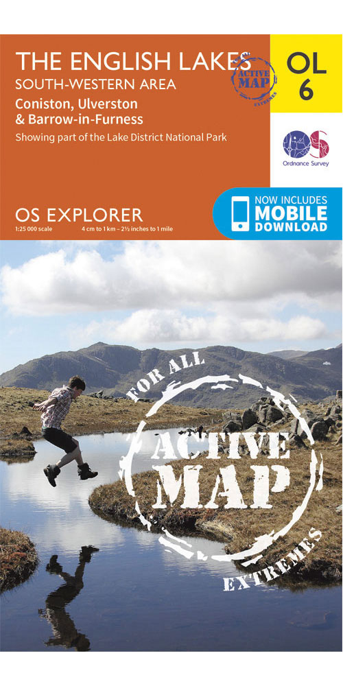
Ordnance Survey The english Lakes - South Western Area - OS explorer Active OL6 Map
[more info...][less...]
£15.99
From Ellis Brigham
Covering The english Lakes - South Western Area on a 1:25,000 scale this OS explorer Active map is tough, durable and weatherproof. It is covered in a protective plastic coating that offers protection from the elements and can be written on, so your favourite routes can be easily highlighted. Lightweight and compact, it won't weigh you down on the trail. Rights of way, fences, permissive paths and bridleways are clearly shown, ensuring you have the best information to get the most out of your time in the countryside. [Full Details]
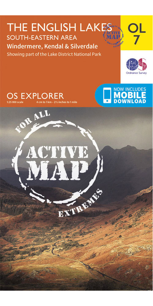
Ordnance Survey The english Lakes - South eastern Area - OS explorer Active OL7 Map
[more info...][less...]
£15.99
From Ellis Brigham
Covering The english Lakes - South eastern Area on a 1:25,000 scale this OS explorer Active map is tough, durable and weatherproof. It is covered in a protective plastic coating that offers protection from the elements and can be written on, so your favourite routes can be easily highlighted. Lightweight and compact, it won't weigh you down on the trail. Rights of way, fences, permissive paths and bridleways are clearly shown, ensuring you have the best information to get the most out of your time in the countryside. [Full Details]
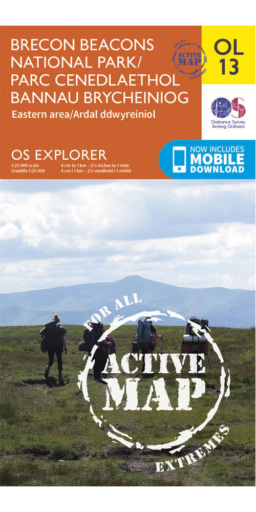
Ordnance Survey Brecon Beacons National Park - eastern Area - OS explorer Active OL13 Map
[more info...][less...]
£15.99
From Ellis Brigham
Covering Brecon Beacons National Park - eastern Area on a 1:25,000 scale this OS explorer Active map is tough, durable and weatherproof. It is covered in a protective plastic coating that offers protection from the elements and can be written on, so your favourite routes can be easily highlighted. Lightweight and compact, it won't weigh you down on the trail. Rights of way, fences, permissive paths and bridleways are clearly shown, ensuring you have the best information to get the most out of your time in the countryside. [Full Details]
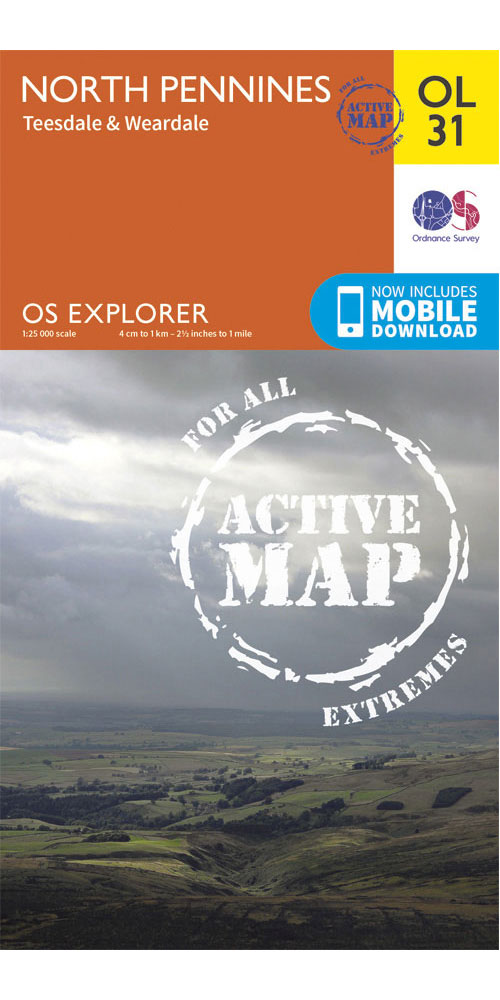
Ordnance Survey North Pennines - Teesdale & Weardale - OS explorer Active OL31 Map
[more info...][less...]
£15.99
From Ellis Brigham
Covering North Pennines - Teesdale & Weardale on a 1:25,000 scale this OS explorer Active map is tough, durable and weatherproof. It is covered in a protective plastic coating that offers protection from the elements and can be written on, so your favourite routes can be easily highlighted. Lightweight and compact, it won't weigh you down on the trail. Rights of way, fences, permissive paths and bridleways are clearly shown, ensuring you have the best information to get the most out of your time in the countryside. [Full Details]
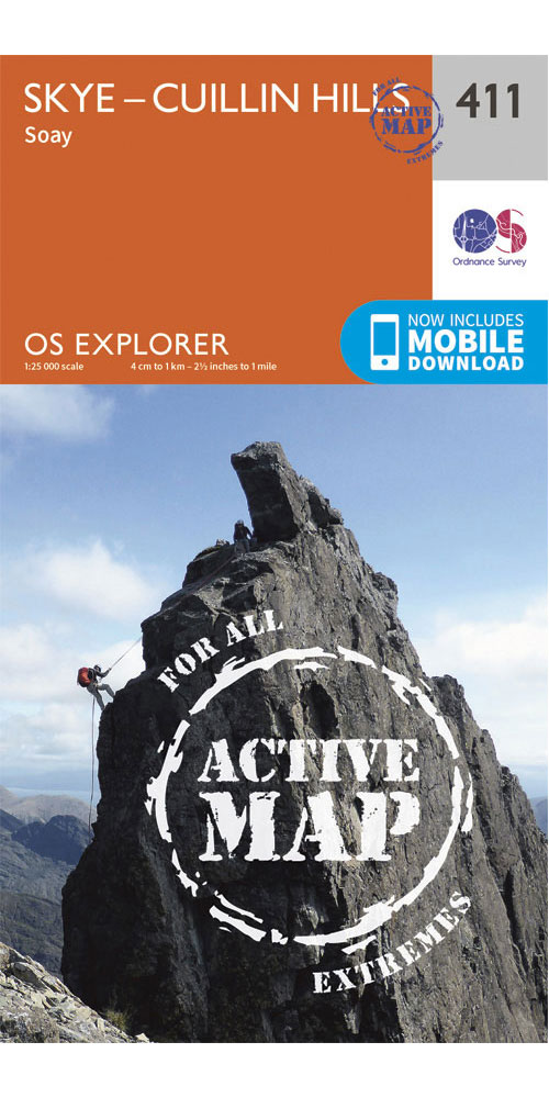
£15.99
From Ellis Brigham
Covering Skye - Cuillin Hills on a 1:25,000 scale this OS explorer Active map is tough, durable and weatherproof. It is covered in a protective plastic coating that offers protection from the elements and can be written on, so your favourite routes can be easily highlighted. Lightweight and compact, it won't weigh you down on the trail. Rights of way, fences, permissive paths and bridleways are clearly shown, ensuring you have the best information to get the most out of your time in the countryside. [Full Details]
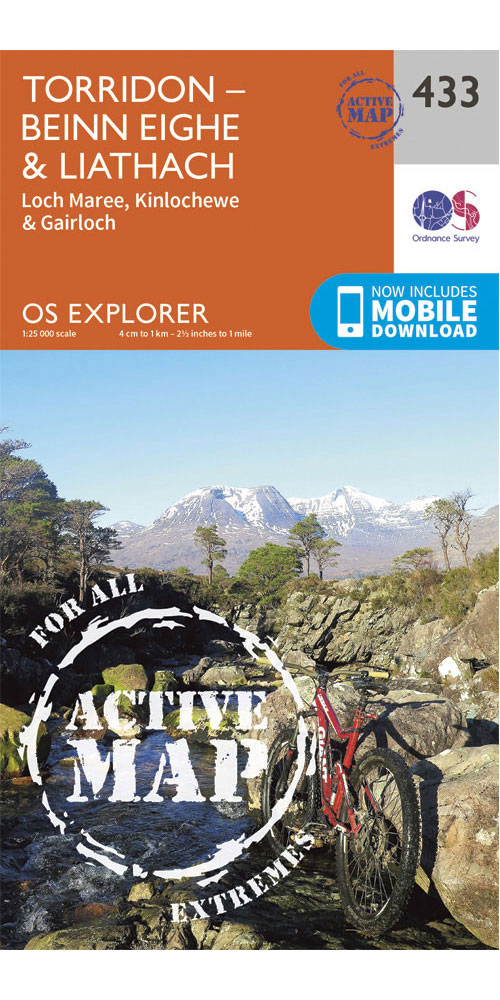
Ordnance Survey Torridon - Beinn eighe & Liathach - OS explorer Active 433 Map
[more info...][less...]
£15.99
From Ellis Brigham
Covering Torridon - Beinn eighe & Liathach on a 1:25,000 scale this OS explorer Active map is tough, durable and weatherproof. It is covered in a protective plastic coating that offers protection from the elements and can be written on, so your favourite routes can be easily highlighted. Lightweight and compact, it won't weigh you down on the trail. Rights of way, fences, permissive paths and bridleways are clearly shown, ensuring you have the best information to get the most out of your time in the countryside. [Full Details]
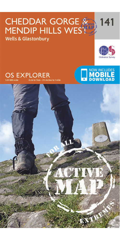
Ordnance Survey Cheddar Gorge & Mendip Hills West - OS explorer Active 141 Map
[more info...][less...]
£15.99
From Ellis Brigham
Covering Cheddar Gorge & Mendip Hills West on a 1:25,000 scale this OS explorer Active map is tough, durable and weatherproof. It is covered in a protective plastic coating that offers protection from the elements and can be written on, so your favourite routes can be easily highlighted. Lightweight and compact, it won't weigh you down on the trail. Rights of way, fences, permissive paths and bridleways are clearly shown, ensuring you have the best information to get the most out of your time in the countryside. [Full Details]
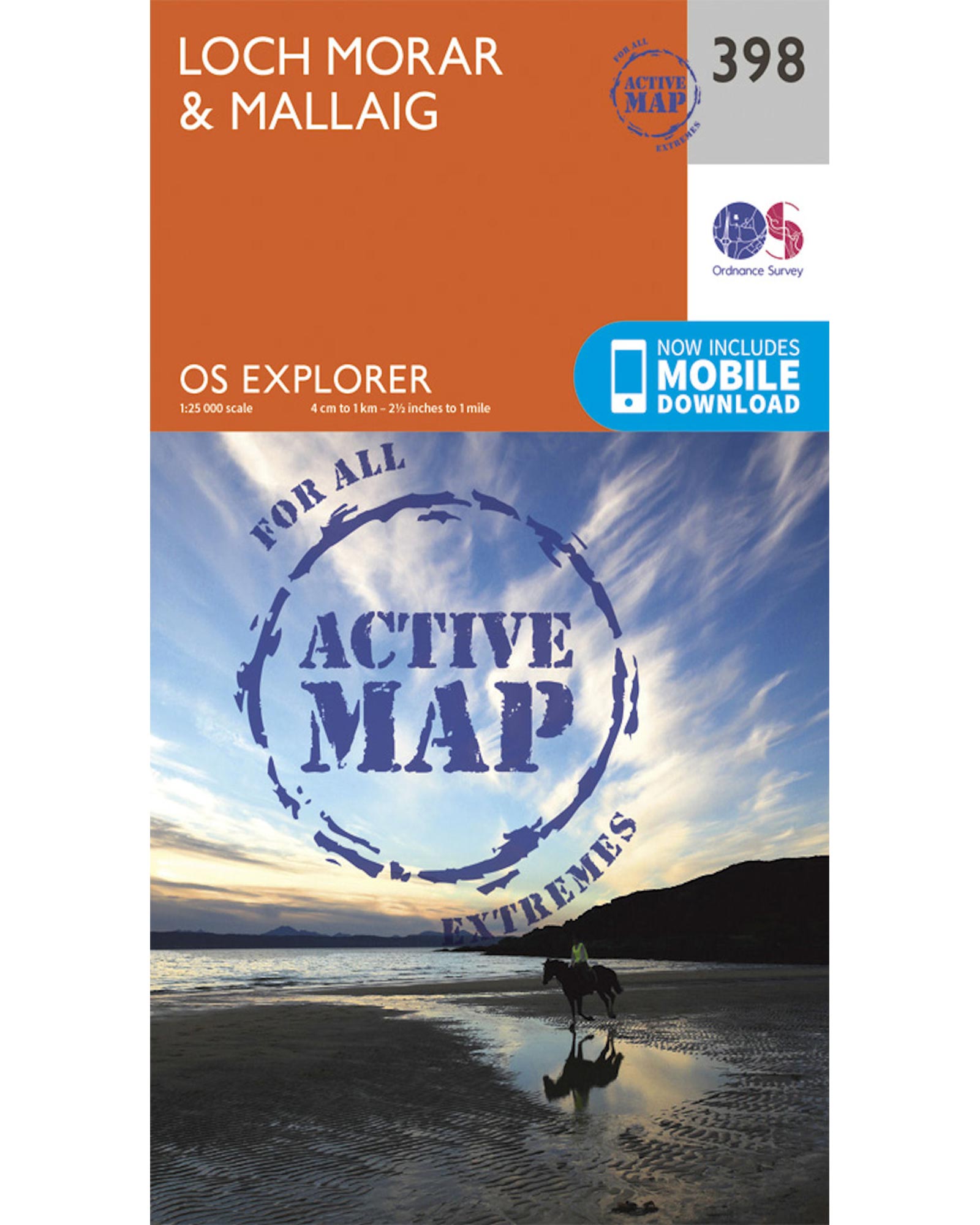
£15.99
From Ellis Brigham
Covering Loch Morar & Mallaig on a 1:25,000 scale this OS explorer Active map is tough, durable and weatherproof. It is covered in a protective plastic coating that offers protection from the elements and can be written on, so your favourite routes can be easily highlighted. Lightweight and compact, it won't weigh you down on the trail. Rights of way, fences, permissive paths and bridleways are clearly shown, ensuring you have the best information to get the most out of your time in the countryside. [Full Details]
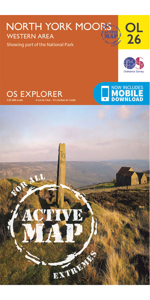
Ordnance Survey North York Moors - Western Area - OS explorer Active OL26 Map
[more info...][less...]
£15.99
From Ellis Brigham
Covering North York Moors - Western Area on a 1:25,000 scale this OS explorer Active map is tough, durable and weatherproof. It is covered in a protective plastic coating that offers protection from the elements and can be written on, so your favourite routes can be easily highlighted. Lightweight and compact, it won't weigh you down on the trail. Rights of way, fences, permissive paths and bridleways are clearly shown, ensuring you have the best information to get the most out of your time in the countryside. [Full Details]
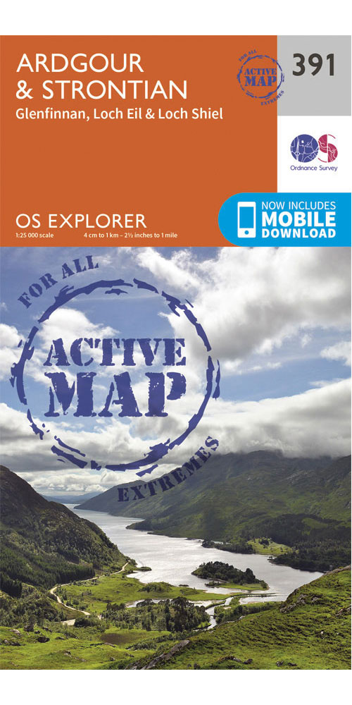
£15.99
From Ellis Brigham
Covering Ardgour & Strontian on a 1:25,000 scale this OS explorer Active map is tough, durable and weatherproof. It is covered in a protective plastic coating that offers protection from the elements and can be written on, so your favourite routes can be easily highlighted. Lightweight and compact, it won't weigh you down on the trail. Rights of way, fences, permissive paths and bridleways are clearly shown, ensuring you have the best information to get the most out of your time in the countryside. [Full Details]

£15.99
From Ellis Brigham
Covering Loch Lochy & Glen Roy on a 1:25,000 scale this OS explorer Active map is tough, durable and weatherproof. It is covered in a protective plastic coating that offers protection from the elements and can be written on, so your favourite routes can be easily highlighted. Lightweight and compact, it won't weigh you down on the trail. Rights of way, fences, permissive paths and bridleways are clearly shown, ensuring you have the best information to get the most out of your time in the countryside. [Full Details]
Copyright Interhike. All rights reserved.