
Compare Prices on Outdoor Equipment
Travel and Outdoor Equipment Price Comparison > Navigation
Products available in:
This week's most popular products:


£9.99
From Ellis Brigham
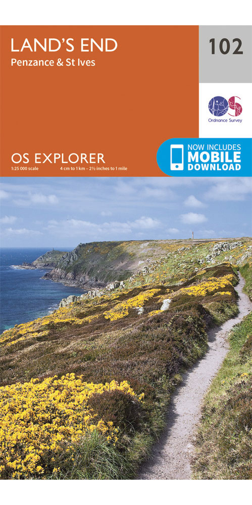
Covering Land's end, Penzance & St Ives on a 1:25,000 scale however remote the terrain, this Ordnance Survey explorer map will give you the accurate, detailed information you need to navigate the area safely. Rights of way, fences, permissive paths and bridleways are clearly shown, ensuring you have the best information to get the most out of your time in the countryside. These are the map of choice for many walkers, climbers, off-road cyclists, horse riders and anyone involved in outdoor activities. [Full Details]
£9.99
From Ellis Brigham
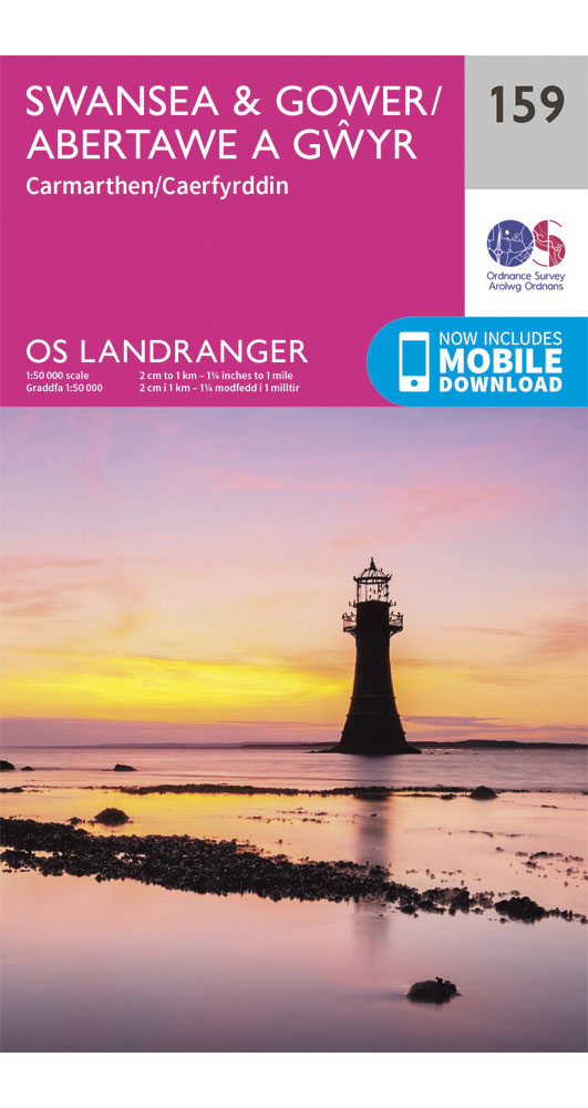
Perfect for day trips and short breaks in and around Swansea & Gower, Carmarthen this OS Landranger map utilises a 1:50,000 scale. It includes places of interest, tourist information, picnic areas and camping sites, plus Rights of Way information for england and Wales. [Full Details]
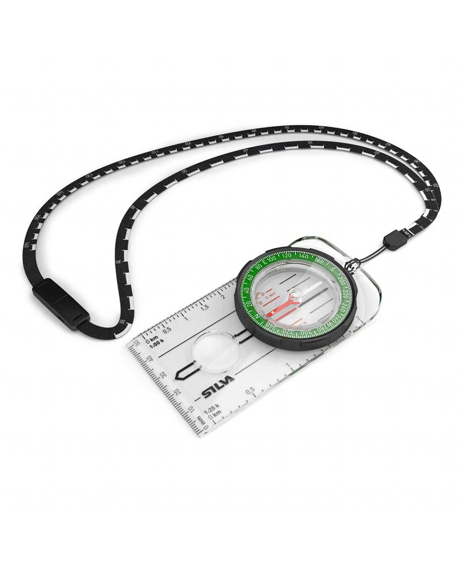
The Ranger compass combines classic features with a user friendly design. Delivering reliable performance to dedicated outdoor enthusiasts, it includes a distance lanyard which has 1:25 and 1:50 scales on it, to make measuring your hike easy. The DryFlex rubber grip bezel gives positive, tactile control and luminous markings aid night navigation. [Full Details]
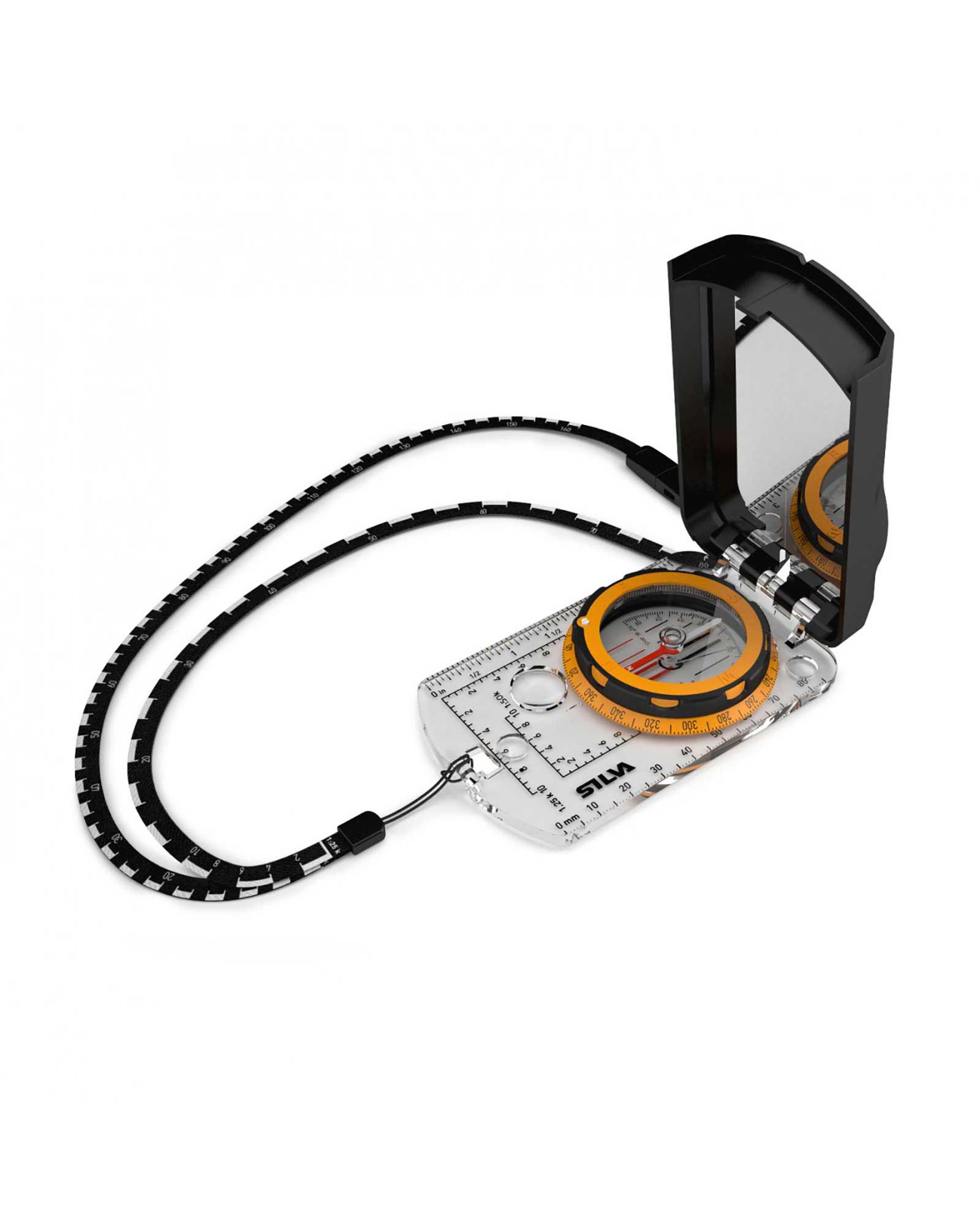
The expedition S compass was designed with experienced users and professionals in mind. The DryFlex bezel is easy to grip, silicone feet allow precision map work, multiple scales allow use with a range of maps and luminous markings aid night navigation. It comes supplied with a slope card, to help detect avalanche risk and determine how challenging your journey will be. [Full Details]
Copyright Interhike. All rights reserved.