
Compare Prices on Outdoor Equipment
Travel and Outdoor Equipment Price Comparison > Navigation
Products available in:
This week's most popular products:


£9.99
From Ellis Brigham
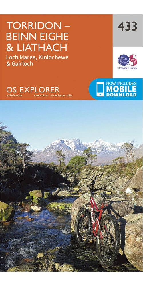
Covering Torridon - Beinn eighe & Liathach on a 1:25,000 scale however remote the terrain, this Ordnance Survey explorer map will give you the accurate, detailed information you need to navigate the area safely. Rights of way, fences, permissive paths and bridleways are clearly shown, ensuring you have the best information to get the most out of your time in the countryside. These are the map of choice for many walkers, climbers, off-road cyclists, horse riders and anyone involved in outdoor activities. [Full Details]
£9.99
From Ellis Brigham
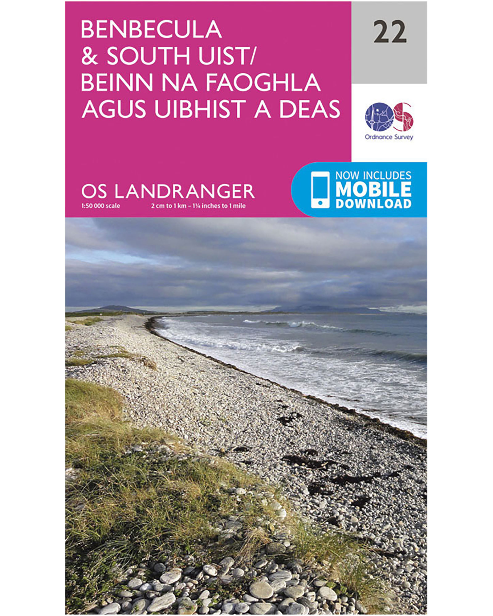
Perfect for day trips and short breaks in and around Benbecula & South Uist this OS Landranger map utilises a 1:50,000 scale. It includes places of interest, tourist information, picnic areas and camping sites, plus Rights of Way information for england and Wales. [Full Details]
£9.99
From Ellis Brigham
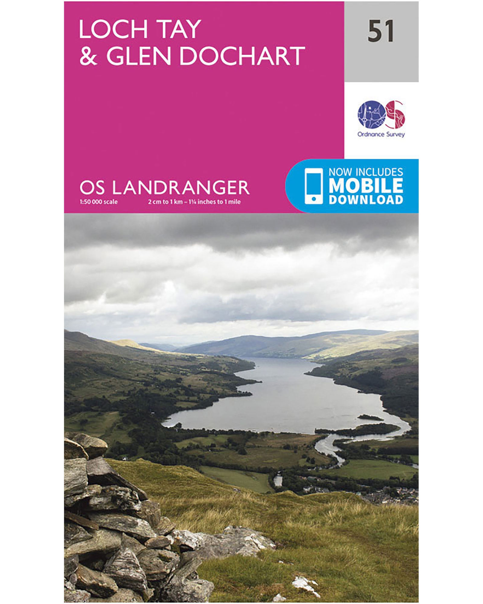
Perfect for day trips and short breaks in and around Loch Tay & Glen Dochart this OS Landranger map utilises a 1:50,000 scale. It includes places of interest, tourist information, picnic areas and camping sites, plus Rights of Way information for england and Wales. [Full Details]
£9.99
From Ellis Brigham
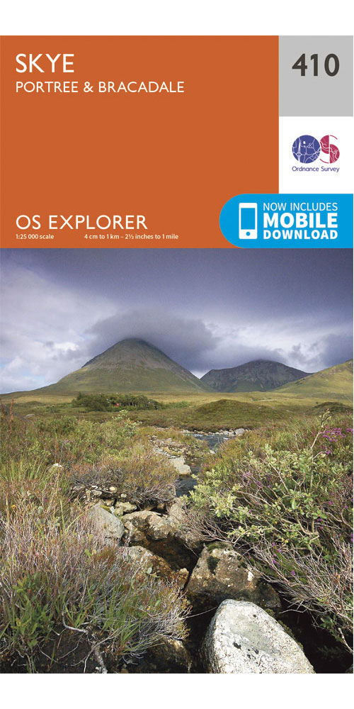
Covering Skye - Portree & Bracadale on a 1:25,000 scale however remote the terrain, this Ordnance Survey explorer map will give you the accurate, detailed information you need to navigate the area safely. Rights of way, fences, permissive paths and bridleways are clearly shown, ensuring you have the best information to get the most out of your time in the countryside. These are the map of choice for many walkers, climbers, off-road cyclists, horse riders and anyone involved in outdoor activities. [Full Details]
Copyright Interhike. All rights reserved.